Photo cleanup
Sunday 31 May 2020
Jekyll
Over time, I used different methods to add GPS information to my photos. After the release of my static website, I noticed that lots of photos showed wrong or incomplete data. Time to investigate.
A bit of history first
When I started with my website, nobody considered a smartphone as an alternative for a photo camera yet. A smartphone with a good camera, and a GPS receiver and lots of storage were hardly available and those that you could buy were far more expensive than an actual photo camera.
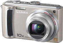
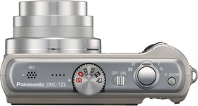
The first photos uploaded to my website were created with a Panasonic TZ5 camera. I must admit that I love this camera. It has a beautiful display and it is very easy to operate when flying a plane. With 2 rechargeable batteries, I never ran out of power during my trips. But it is missing one important feature: it does not have a GPS receiver so it cannot store the location where the picture was taken. And as you may have found from this website: I love location…
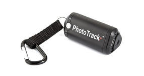
To fill this gap, I bought a GiSTEQ PhotoTrackr back in 2008. Again, a very handy device that is very easy to operate. Switch it on and it will continuously track where you are. The tracker used rechargeable penlight batteries to run and every now and then I ran out of power, resulting in partial track logs. It came with a horrible piece of software to extract the log from the device and save it to a file on your computer. The protocol used by the device was never disclosed, so there was no alternative than to use the software that came with the device.
The software allowed me to add GPS location tags to photos. It did so, by looking at the time the picture was taken and finding the location you were at that point in time. To make this work, the 2 devices need to have exactly the same time. Even the slightest difference in time will result in position errors. Man did I spend a lot of time correcting this….
At some point I found GeoSetter: a free tool to tag the photos with a location based on a GPS log file. This changed my way of working. I only needed to use the GiSTEQ software to extract the GPS log. Already much better, however another piece of software and an additional step in the process.
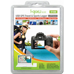
Then I found the i-gotU GT-600 GPS logger and according to the reviews it should have much better software. Well it did, but still, the whole process of tagging photos was way too time consuming. So, I gave up on that, but I did continue to use the device to track (mainly) my flights.
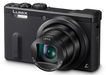
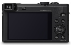
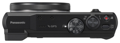
Over time I bought a Panasonic TZ60; a camera with a built-in GPS receiver. I thought I had it covered now. The camera allows you to log your track and it tags pictures with the location where they were taken. So far, the marketing information… The reality is slightly disappointing. You need to manually upload a GPS satellite file to the camera every few weeks. If you do not do so, the camera will take forever (if ever) to find the GPS satellites. Next to that, the logging consumes so much power that you will probably run out when you want to take a picture.
Then I got a nice smartphone. But trying to take a picture with it when flying an aircraft requires a capability that I do not have. So, I am still looking at a better way of handling photos.
Then back to my website cleanup project
I noticed that lots of pictures had all sorts of tags, but there was also a lot of overhead stuff in the files. Over the last weeks, I have started to look into Exif tags and how to generate files that contain just enough information in the pictures on the website.
Once the cleanup code was in place, I had to re-generate all pictures (5.000+) on the site, which took over 30 hours. There are still some issues with the tags, so I probably must do this again at some point in time, but for now, this is already much better.
I also will have to revisit a design decision: should I resize the images as part of the Jekyll build process or should I do this before Jekyll builds the site. There are pros and cons for both methods.
Even more things to look at.
Want to respond to this post?
Look me up on GitHub,
 Facebook or
 LinkedIn.
Tags
- 3D 9
- Air Safari 19
- Australia 67
- BlackBerry 1
- Blue Sky Flying Adventures 33
- By Boat 4
- By Bus 2
- Dev Containers 3
- Domoticz 2
- Driving 31
- Facebook 1
- Flying 37
- Gallery 2 7
- Google Maps 4
- Hugo 1
- Jekyll 4
- Linux 3
- NextGEN Gallery 5
- Owning a plane 1
- Podman 3
- Red Centre Tour 19
- Singapore 3
- Tasmania 10
- USA 33
- WSL 2 4
- Walking 42
- WordPress 17
